


News and Events
Latest News and Updates from the Trust - Wharfinger Magazine Online - Calendar of Events and Event Details - News Archive
Find out more »About the Trust
The Trust has gained national recognition of its success in working in partnership with developers and Local Authorities to secure the future of Hereford and Gloucester Canal restoration for the community.
Find out more »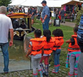
Enjoy the Canal
Passing through unspoiled countryside, the H&G Canal and associated canal-side developments encourage visitors to the area, as well as supporting the local community and economy.
Find out more »
Support the Trust … in many ways!
There are a great many ways you can support the Trust and its activities...... Become a Trust Member - Become a Trust Volunteer - Lend us Some Expertise - Financial Assistance
Find out more »
Contact the Trust
Use our simple Contact Form to send a message or ask a question of the Trust...
Find out more »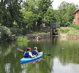
Hereford and Gloucester Canal Restoration
Although much of the Hereford and Gloucester Canal has been filled in and in places has disappeared without trace, a surprising number of lock cottages, wharf buildings and bridges remain to be seen. Work ...
Find out more »